Rockbound Lake
Trip Date: September 27, 2020
Time: 7- 8.5 hours
Distance: 16.8 km
Elevation Gain: 760m
Hiking Difficulty (Shenandoah's formula): Very strenuous (228)
Technical Rating (Yosemite Decimal System): Class 1 - Well defined trail, no technicalities
Best time to go: June - October
Toilets: Outhouses at the trailhead
Trail Popularity: Low
Food and H20: 3L of water finished, 1 lunch, and 2 small snacks.
Footwear: Hiking boots, Hiking Shoes, and Trail runners are ok. Regular running shoes will get muddy. Equipment: Hiking poles will be great for this hike but not necessary.
Trailhead: Trail starts here
Parking A (No highway closure): https://goo.gl/maps/fJY5AoogLHKANRFLA
Parking B (Covid-19 road closure): https://goo.gl/maps/Z1bXrsPTkV14yHHKA
We drove early that morning going westbound on Highway 1 and followed the GPS to the Johnson Canyon exit on Highway 1A (https://goo.gl/maps/x55wjYCP8zLnRYnW7) only to see road closure due to COVID-19 restrictions… We took a detour by re-entering westbound Highway 1 heading to Castle Junction instead, there we found a Park Ranger beside yet again another road closure. The Rangers kindly redirected us to another temporary parking lot a few meters beside the road closure. I listed that temporary parking spot a “parking B” in the stats above. Parking lot “B” is accross the trailhead so it won’t be to much of a hassle.

An early start to the morning, we were fortunate to catch the sunrise.
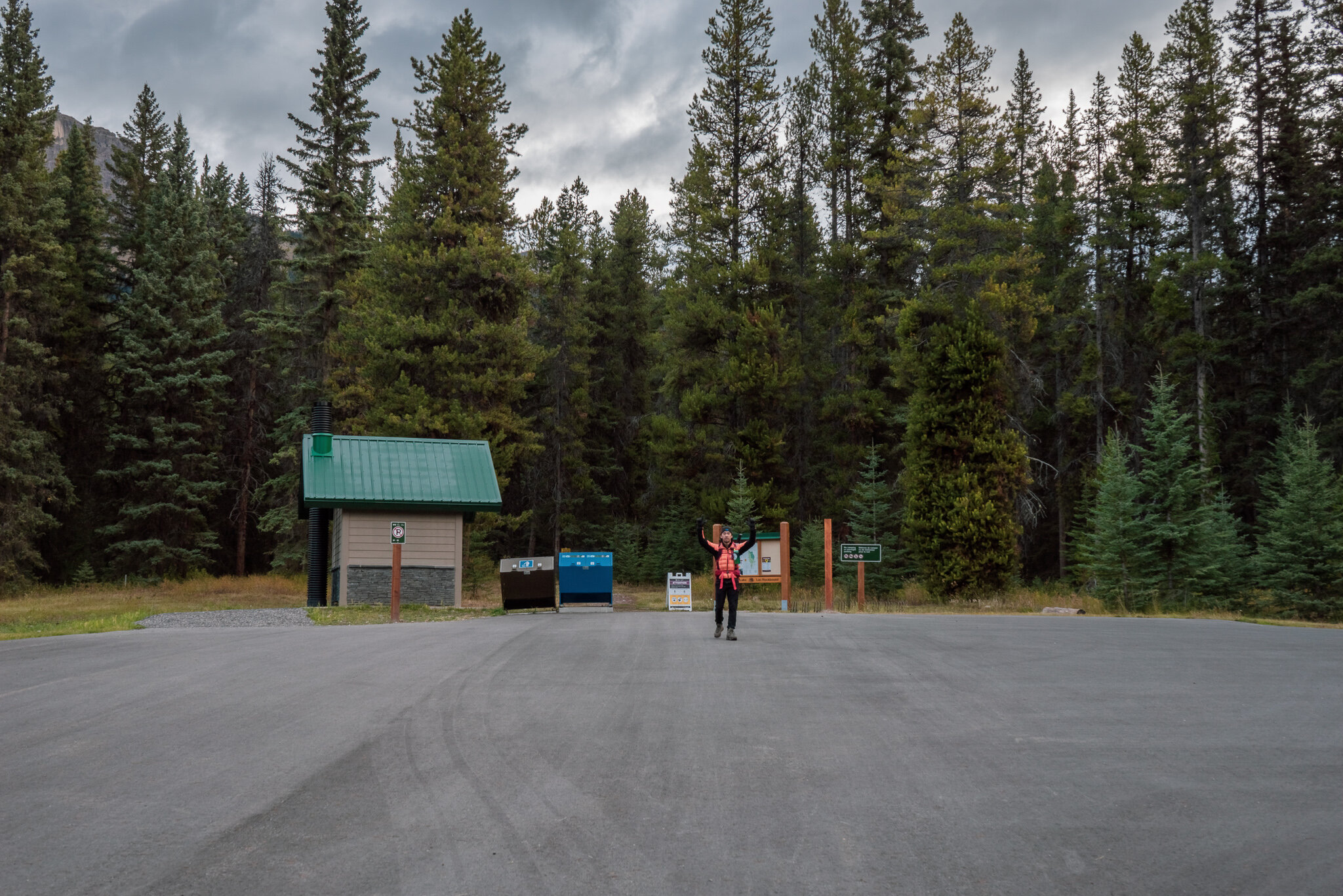
This is Parking lot “A”. Under normal circumstances without COVID restrictions, park here. We started the trail just behind the notice board.
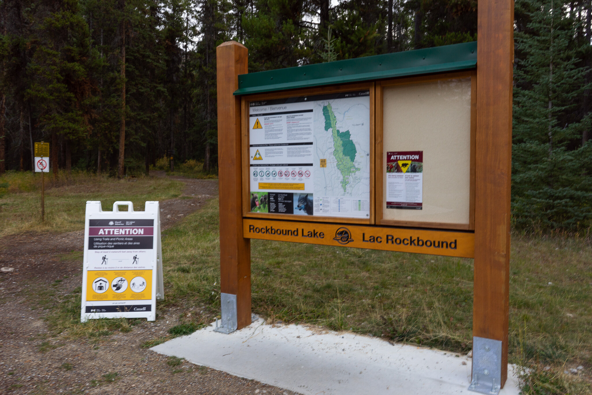
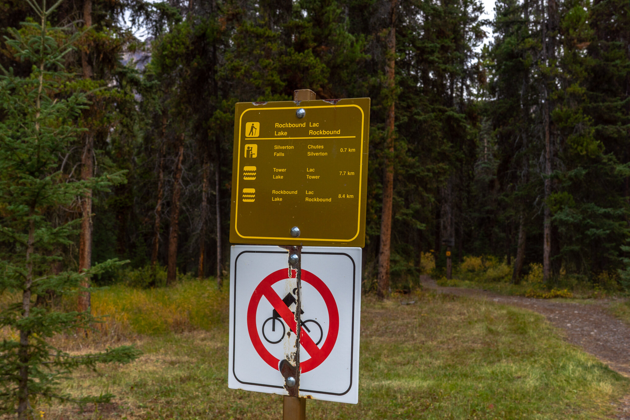
Make sure to take note and familiarize yourself with the notices and warnings.
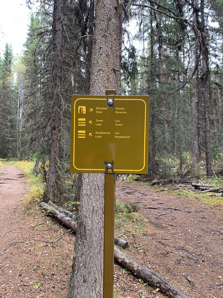
The hike up to Tower lake will be an uneventful 4km until the next checkpoint, you can autopilot your way up the gradual incline of this very well maintained trail. As long as you stay on this trail you won’t get lost.
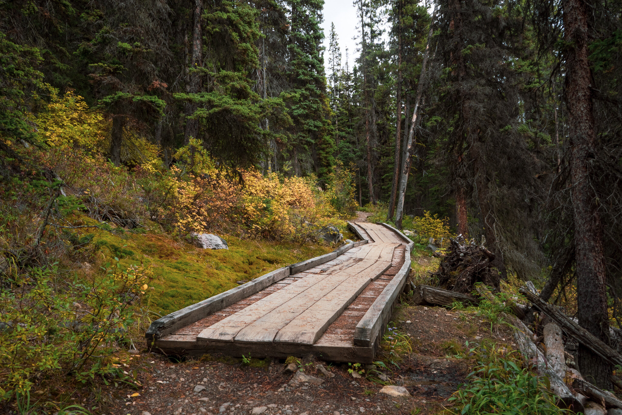
After some thick forest your next checkpoint is this wooden bridge, after the bridge will be more thick forest!

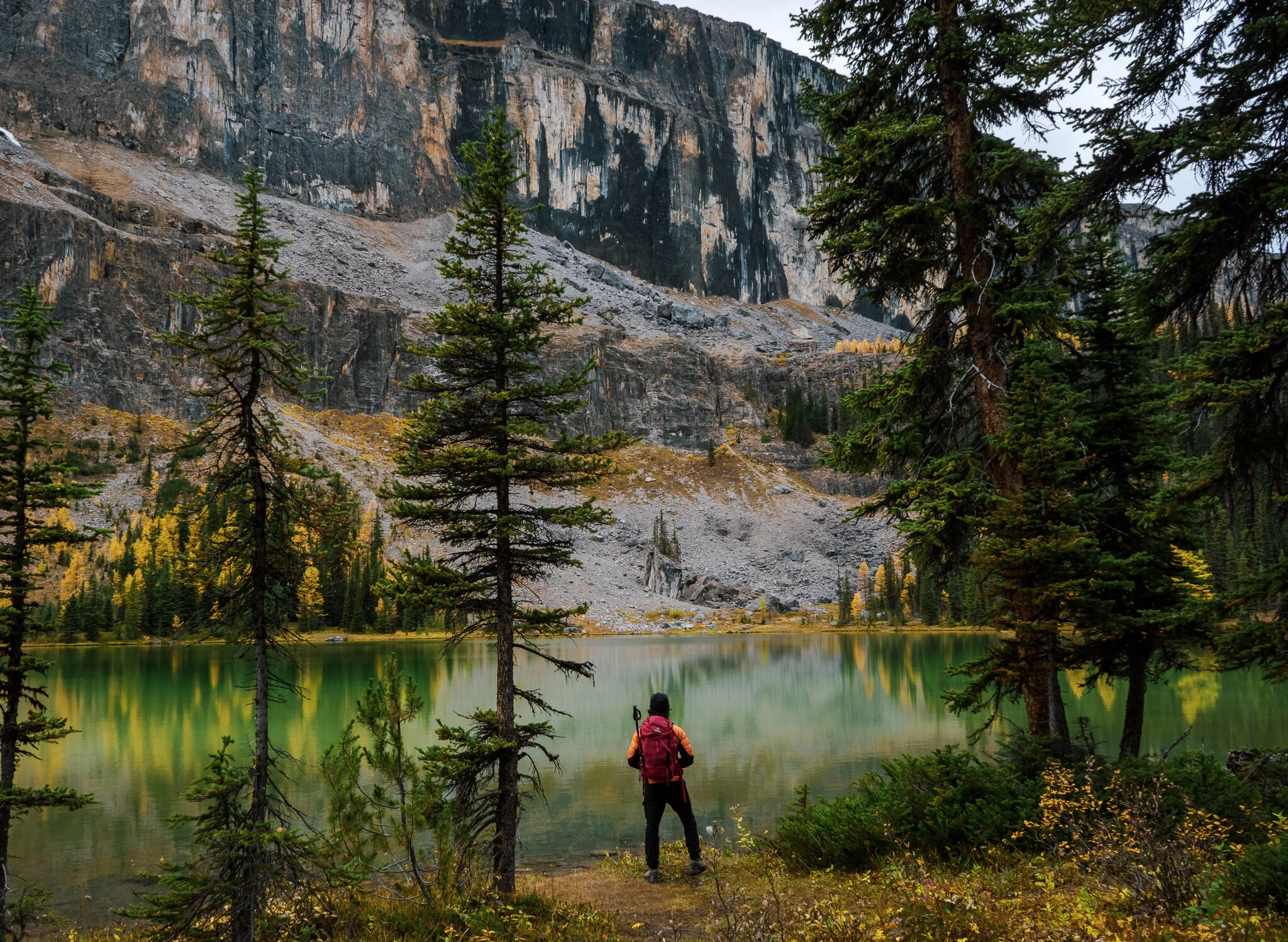
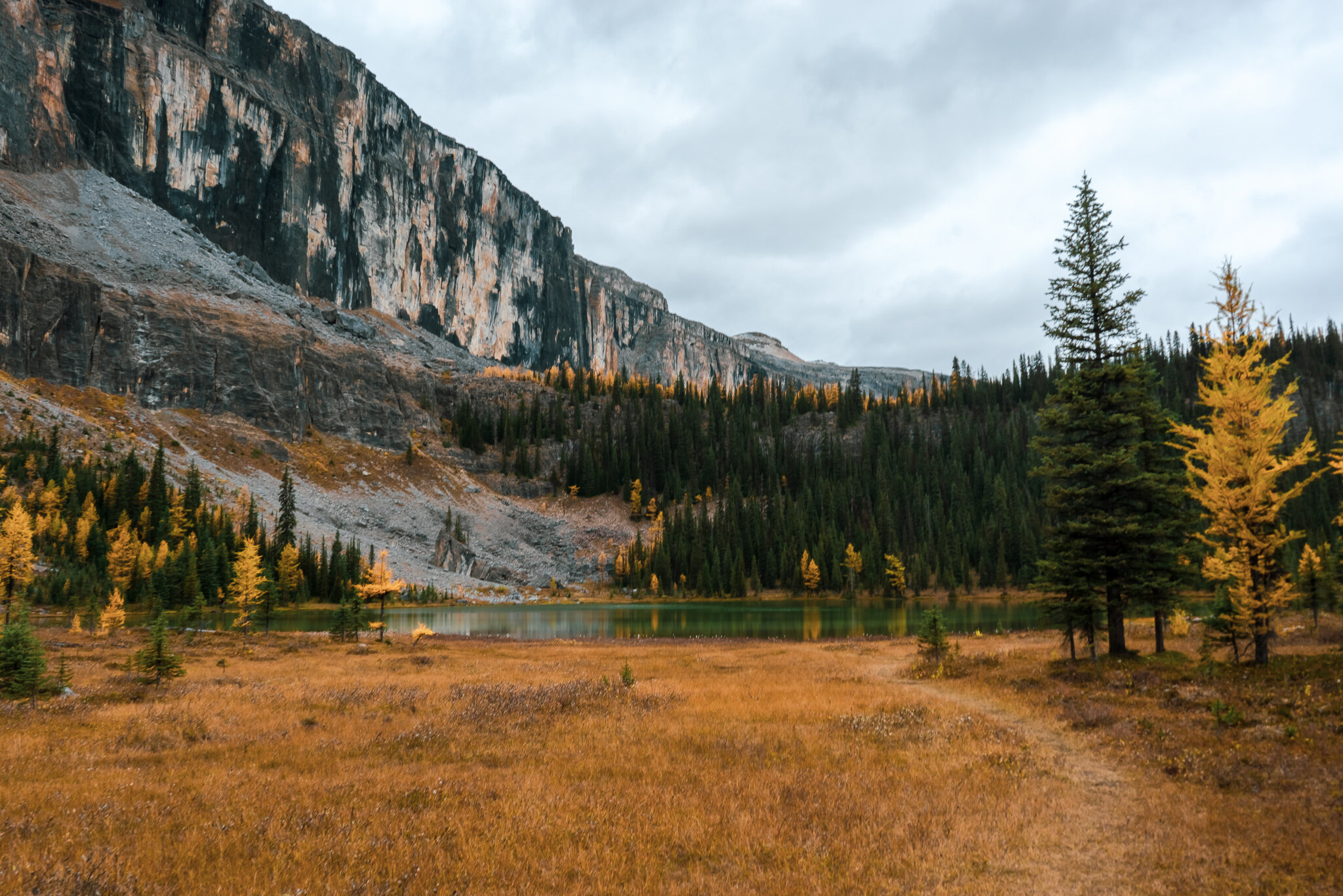
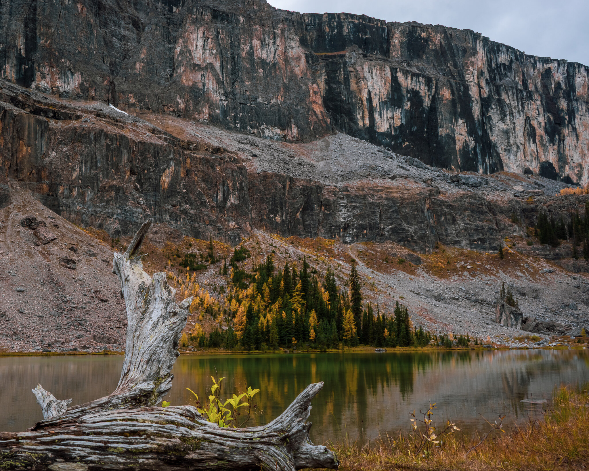
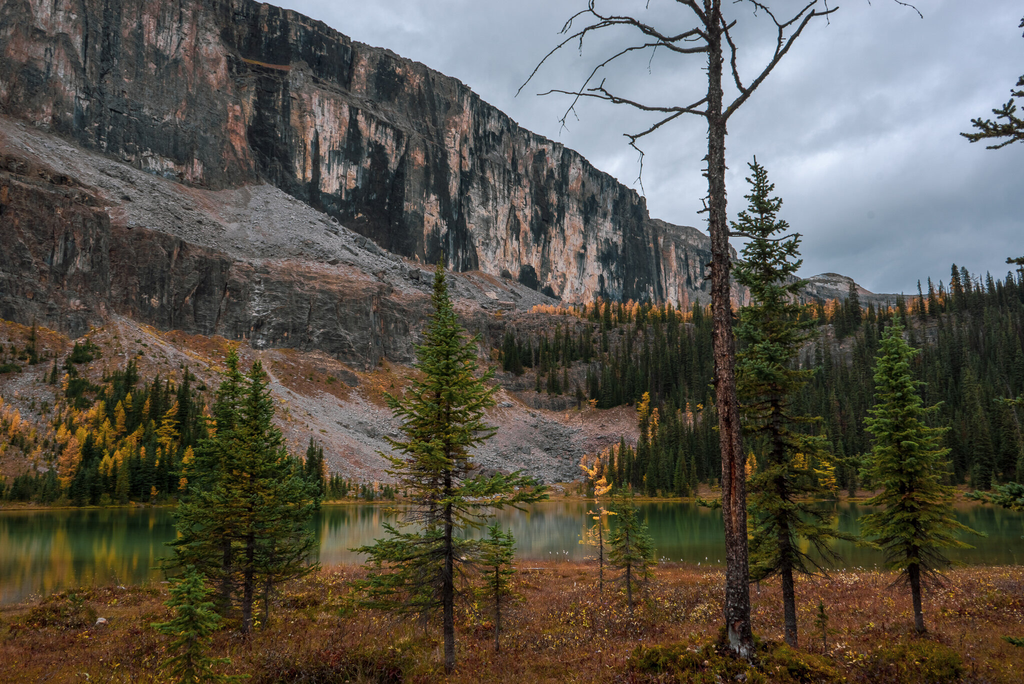
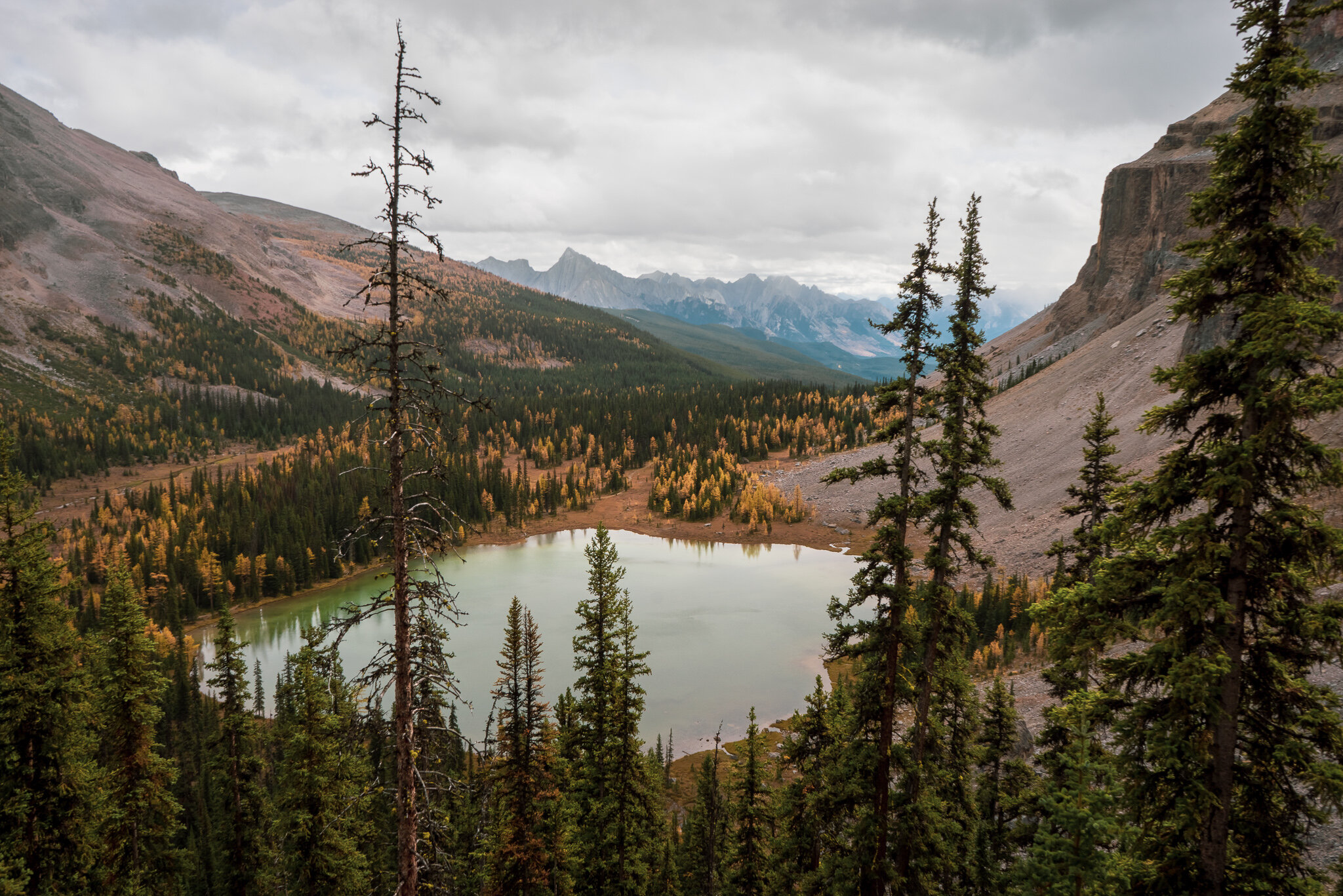
The treeline begins to thin out, incline begins to flatten and you will find yourself walking across some wooden planks that keep you above a small stream. This should mark 1-2 km until you reach Tower lake, Views of Eisenhower Peak become more prominent as seen in the photo above.
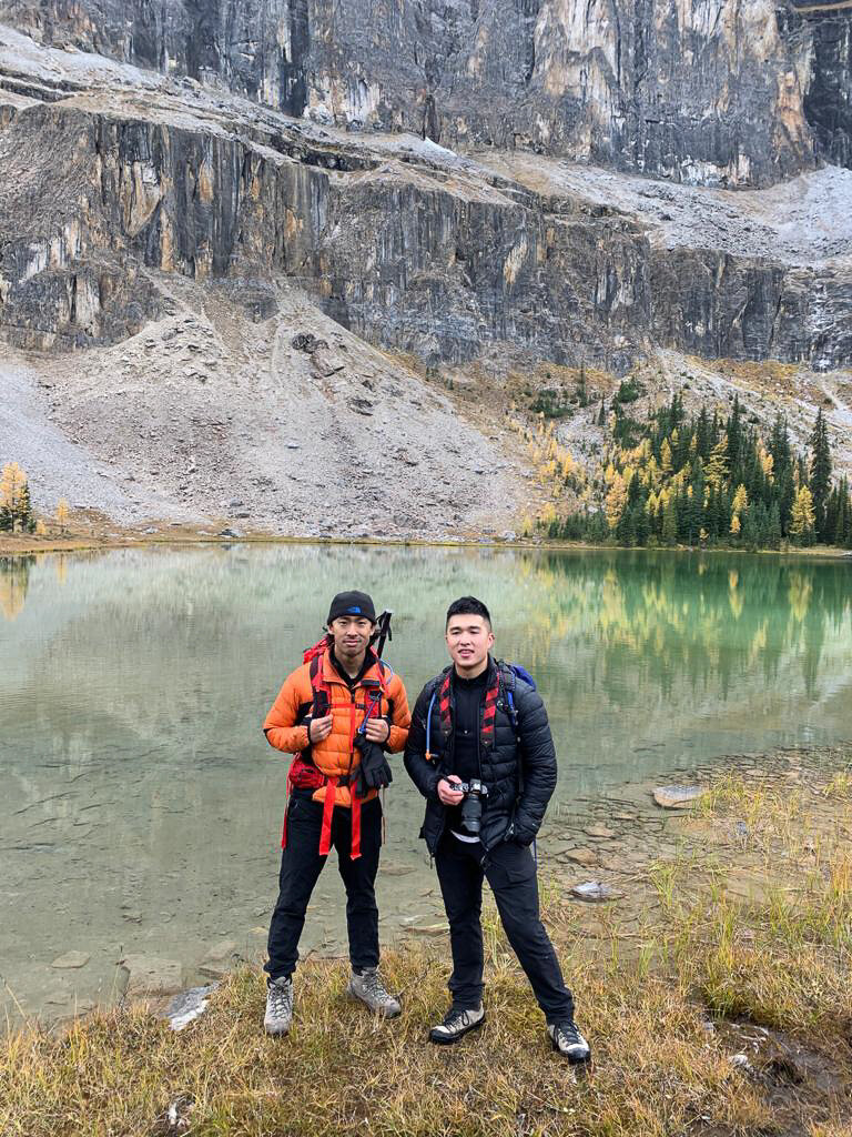
Tower lake is now in our sights, let’s get in closer for a better look.
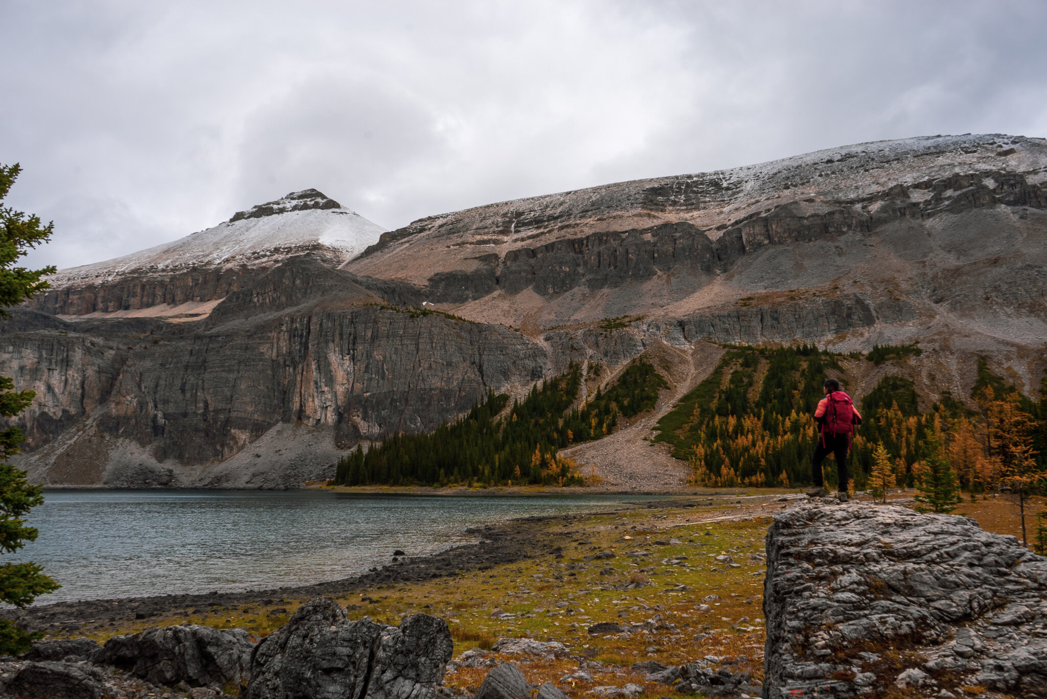
This spot here will be a good opportunity for here for a quick break. The trail continues on the left of Tower lake…
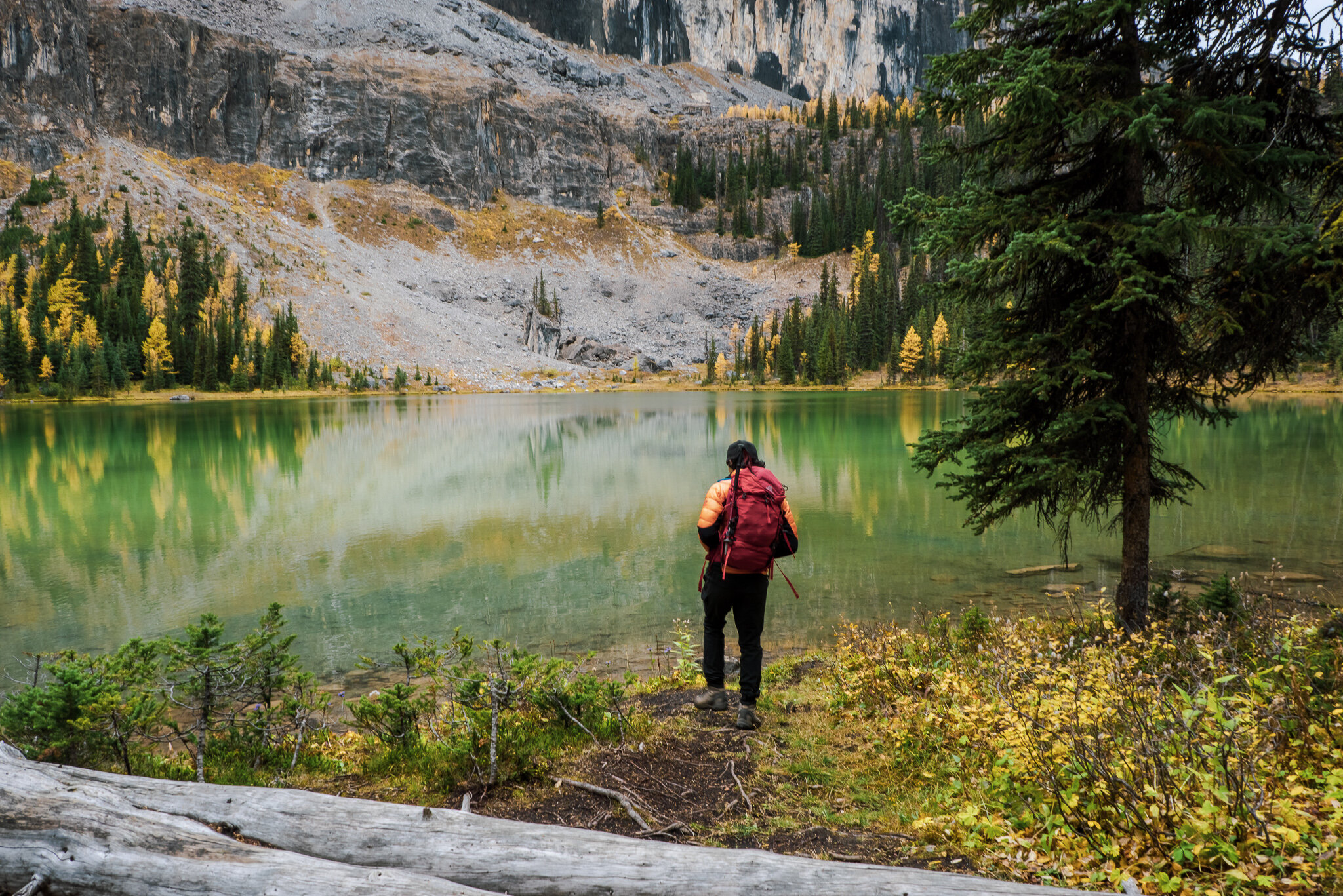
Andy is taking another moment to appreciate how beautiful it is here before we keep moving.
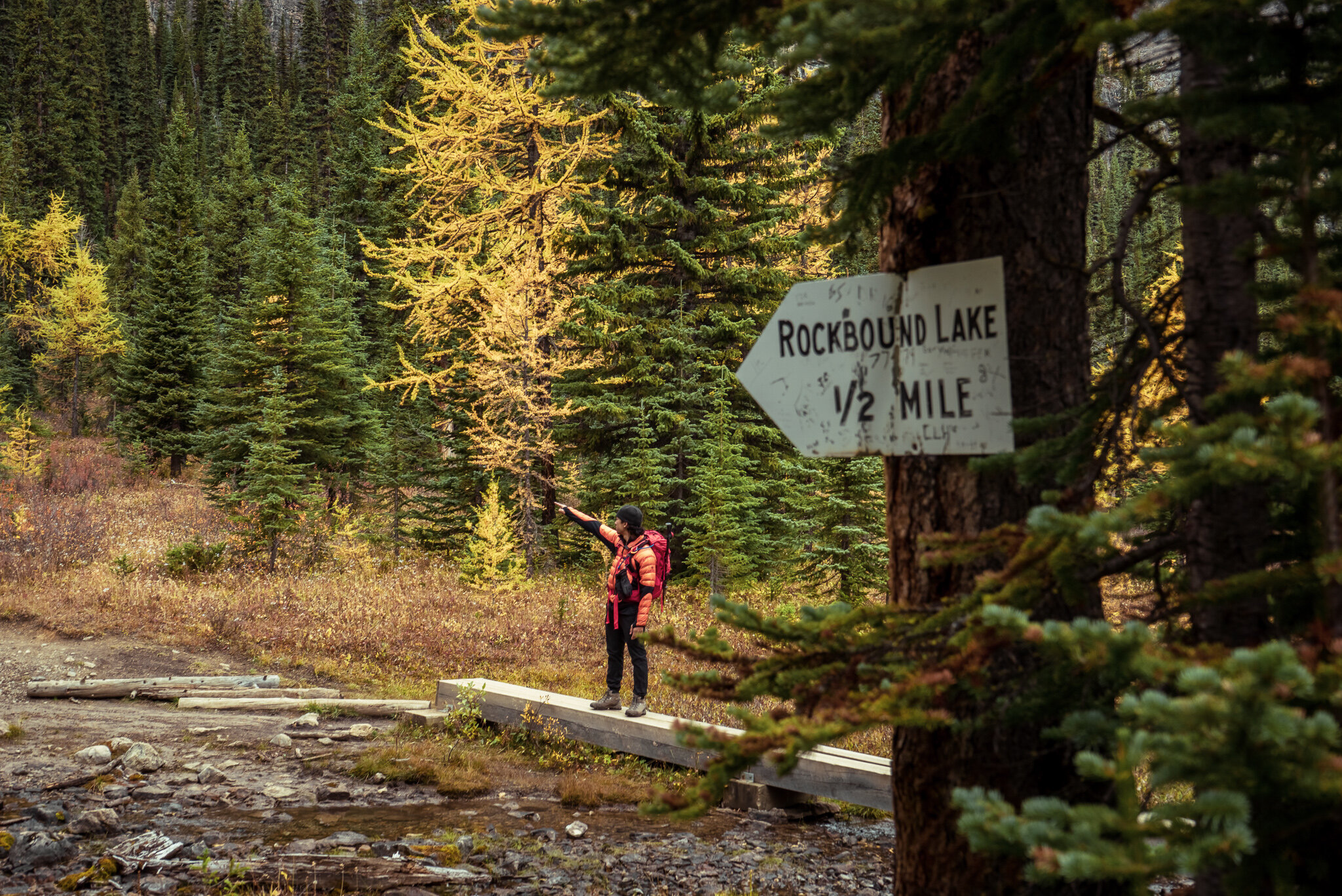
1/2 mile to Rockbound! This is where you will make a small yet steep ascent, one last push.
Looking back at Tower Lake.

The cold wind gets stronger as we approach Rockbound lake, Andy is looking for refuge behind some boulders so he can set up his portable propane tank. Dehydrated rice and curry are on the menu!
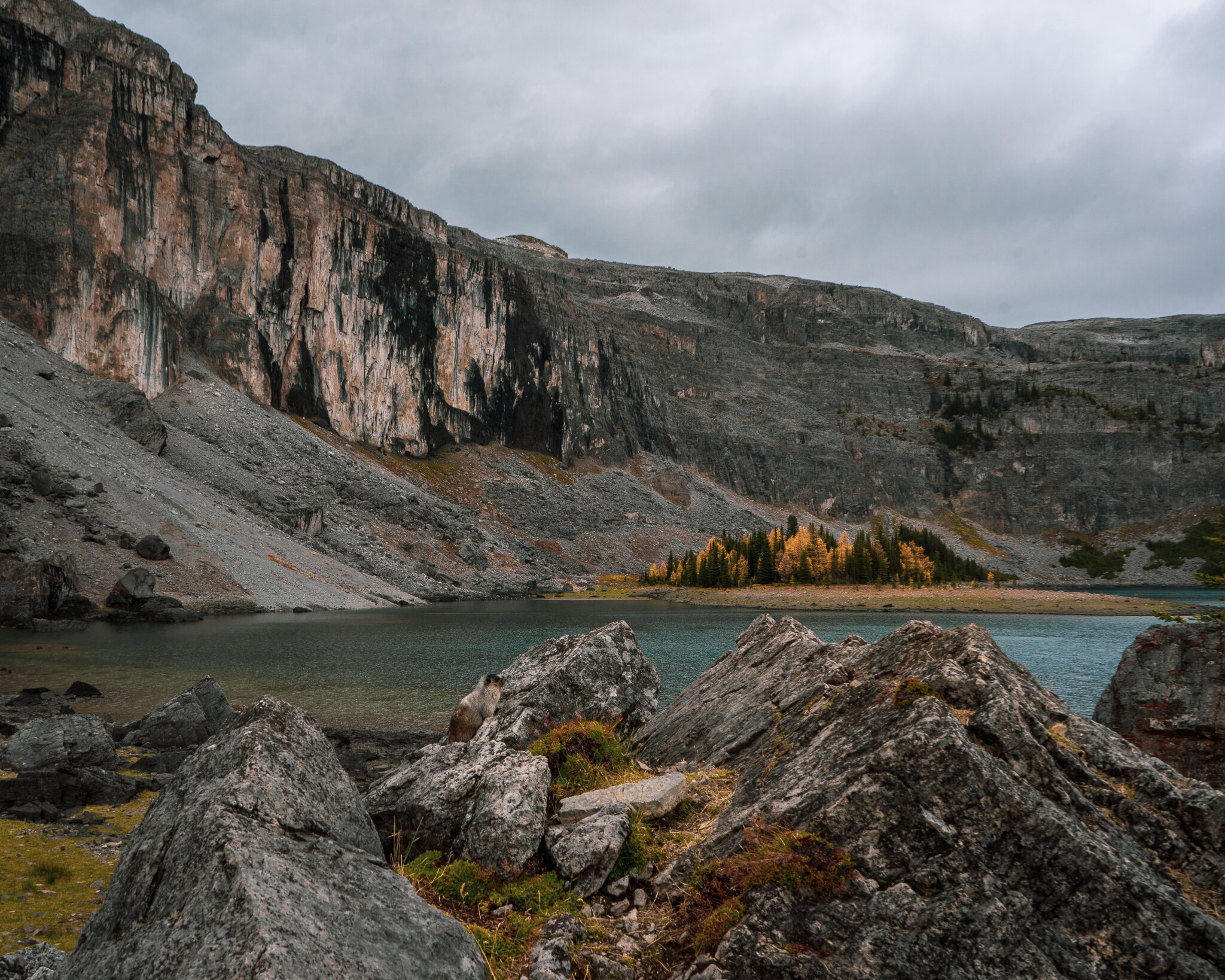
Welcome to Rockbound Lake, Helena Peak just above.
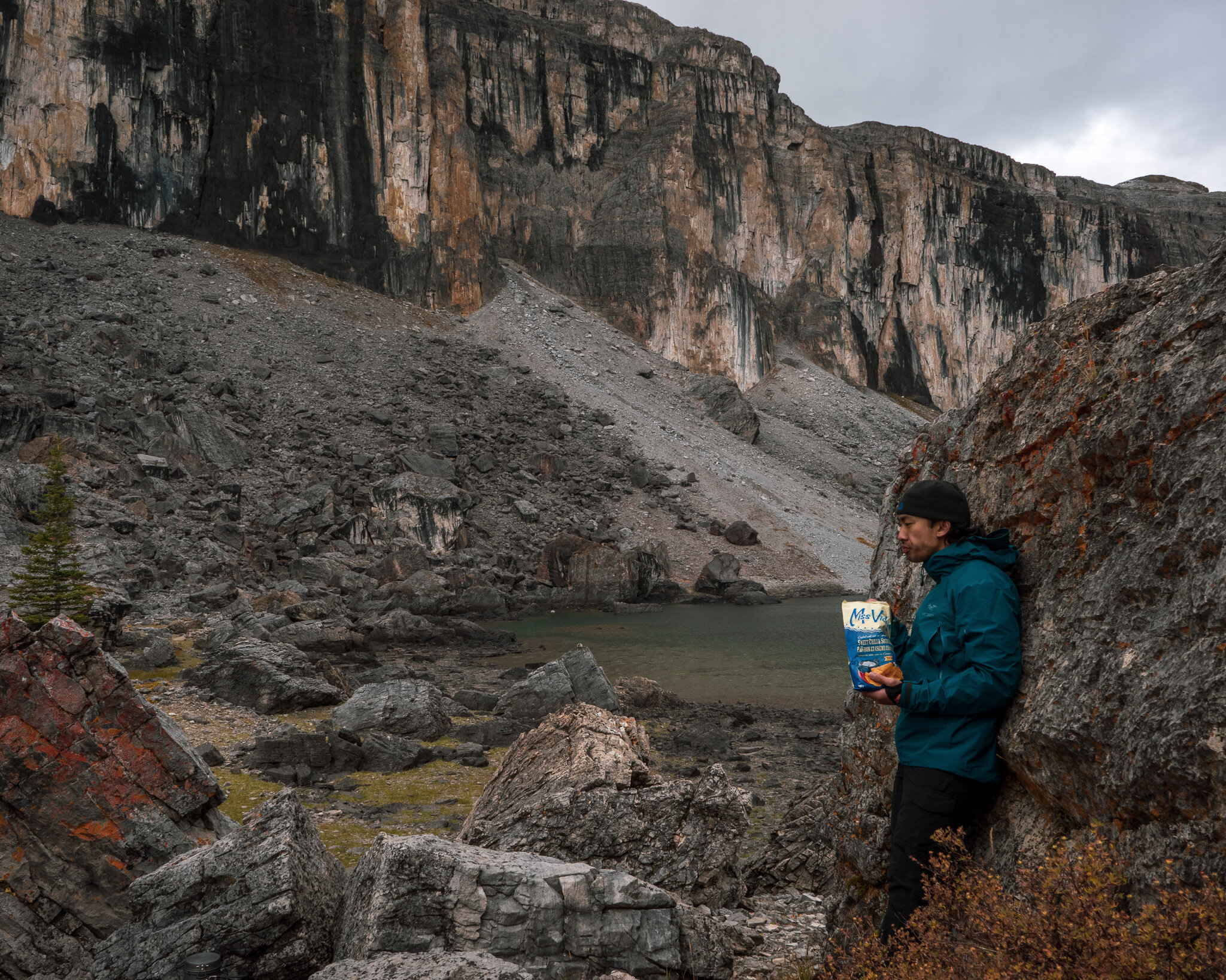
Ms. Vickie’s chips for an appetizer. Also, this boulder was a perfect wall for us from the wind.
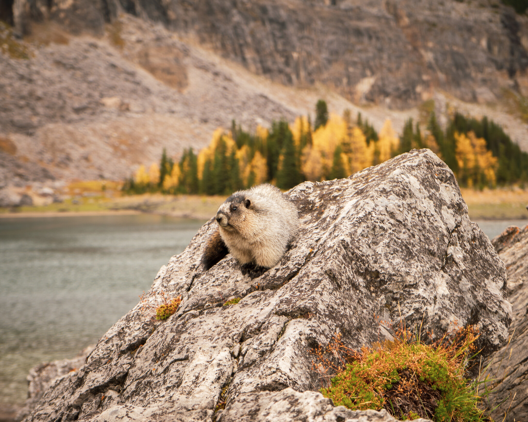
Surprisingly there was an abundance of Marmots in the area.
Saying farewell to Rockbound Lake before we head back, I’ll be back here soon to do the surrounding peaks in the future! Thank you for all of you joining Andy and I on this virtual hiking guide. We hope to see you soon or in the next post <3