
Rawson Lake and Sarrail Ridge

This was Owen’s first attempt to Sarrail Ridge as this was my 5th, and every single time I’ve been here I’m always blown away by how beautiful this hike is. I truly believe Sarrail Ridge and the view of the Upper & Lower Kananaskis lakes is extremely underrated and should be regarded as one of Canada’s most beautiful hikes. Sarrail Ridge has become my go-to hike for all of my out-of-town friends when they come to visit, It creates such a memorable experience that I’m happy to share with them so they have an amazing time when they’re here in Alberta. Even though Owen is not from out of town, I decided Sarrail Ridge is still a great choice that’s safe for a last-minute decision. It’s easy to follow, not too difficult, beautiful pictures are effortless and just overall really fun!
Trip Date: October 2, 2020
Time: 3.5 - 5 hours
Distance: 11.4km
Elevation Gain: 670m
Hiking Difficulty (Shenandoah's formula): Strenuous (202) for the full hike, Rawson Lake rountrip will be just “Moderate”
Technical Rating (Yosemite Decimal System): Class 2 (only for the final ascent up to Sarrail Ridge via Rawson Lake.
Best time to go: June - September
Toilets: Outhouse located in the parking lot.
Trail Popularity: High
Food and H20: I packed 3L and drank 2L. For food, I had a small sandwich.
Footwear: Hiking boots, shoes or trail runners recommended. Running shoes will struggle on the final ascent up to the ridge.
Equipment: N/A
Trailhead/Parking: Park here. The Trailhead is at the south end of the parking lot.
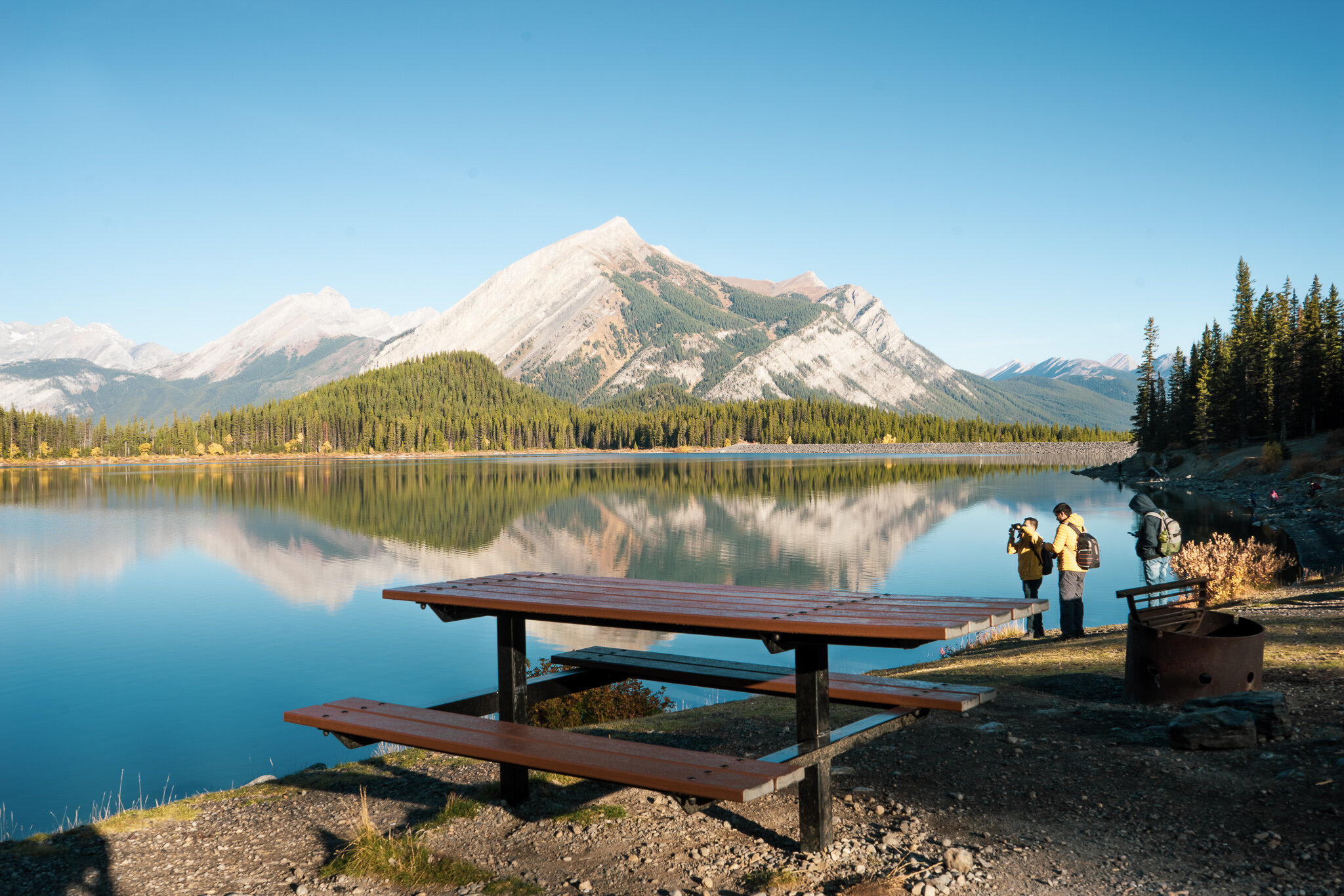
What a beautiful morning… this is the view from the parking lot.

I had to walk down towards the lake for another quick photo before we go to the trailhead.

This is the trailhead, located on the south end of the furthest south parking lot. Outhouses are just directly to the right of Owen (his left) as well. Bear activity is high in this area, So make sure you have bear spray nearby, read the notices, and be prepared.

Begin walking counter-clockwise along the upper Kananaskis lake For about 700m until the next checkpoint.
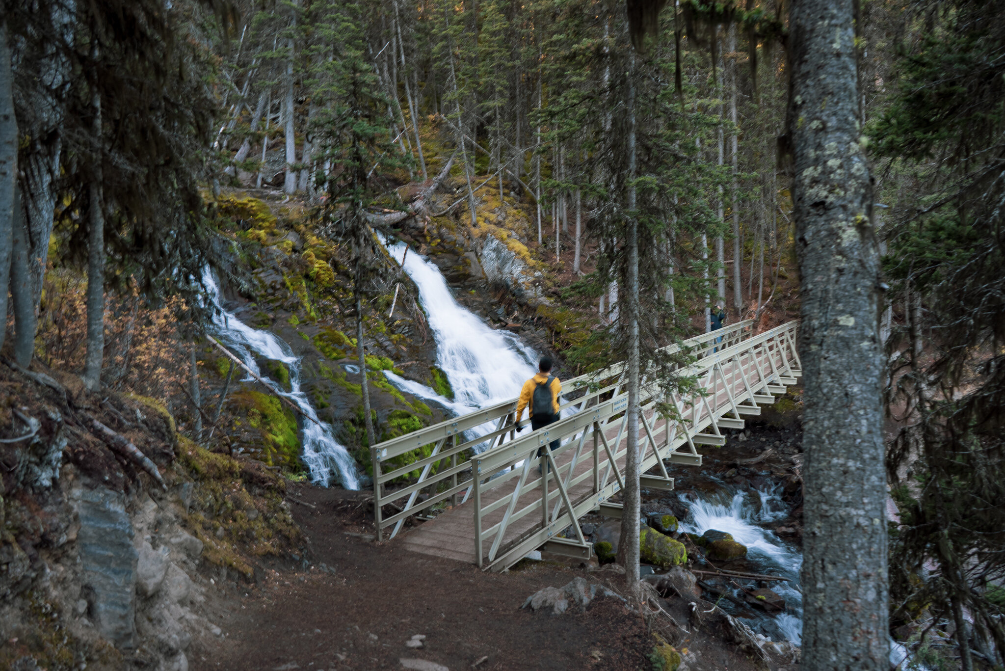
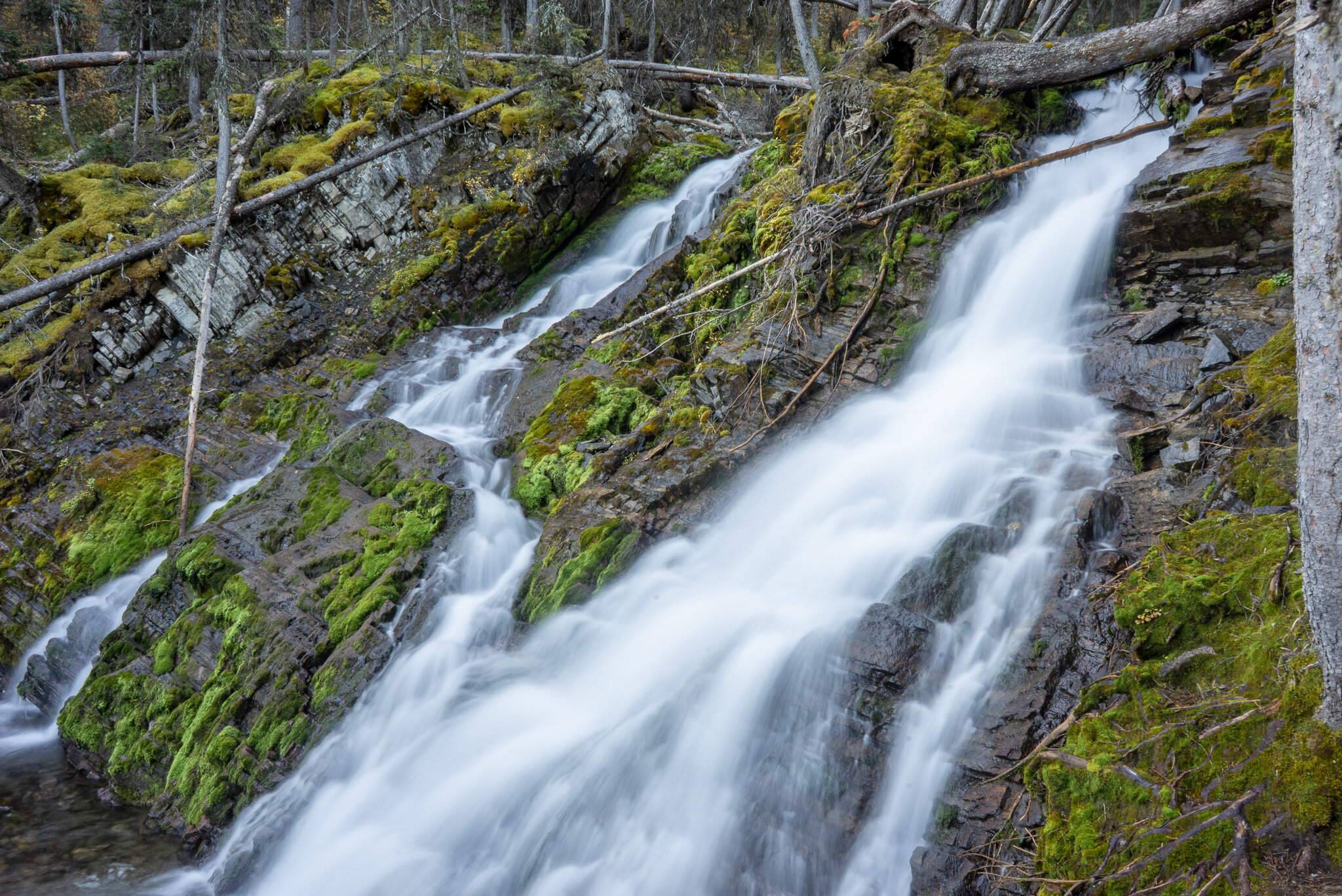
Your first checkpoint will be here, the bridge! The runoff you see here is from Rawson lake that feeds Upper Kananaskis lake.

After crossing the bridge, continue for about 100m for the next important checkpoint.

Surprisingly those who are too busy looking down at their feet usually take the wrong turn… So look up, pay attention and TURN LEFT as the trail will take you straight to Rawson lake, the gradual 300m elevation gain begins here.

GO LEFTTTT!!!!!

“A spectacular sight to behold! Enjoy this hike to a beautiful lake surrounded by the peaks and alpine meadows of Mount Sarrail. The first half of this 5.2 km round trip is a long, steady climb, with a total elevation gain of 300m (982 feet). Additional support for this interpretive trail was provided by the Rocky Mountain Ligament Group celebrating the life of their friend Dr. Cy Frank and his connection to Kananaskis Country. Please stay on the trail. Take only pictures and good memories, and pack out any garbage you find. Also, Follow Mr. Mountain Mountain man on Instagram @mountainmanhikes”

About 3 quarters of the way there you will see some planks along the trail, these were extremely helpful the in melting months as this section can be unforgiving with mud and snow. Keep in mind this area can have up to 20ft of snow during the winter months. The next stop is Rawson Lake.

Wow, Rawson lake is looking absolutely gorgeous. Make sure you stay to the left of Rawson lake to continue on the standard trail to Sarrail Ridge.

Owen and I are currently walking around Rawson lake to the base of Sarrail Ridge.

The path of the ridge is visable once you’re off the small section of loose rock (south end of Rawson lake), take the route in red to get up to the ridge. You will be making a steep climb along the gully, stay on the right side as that is usually the easiest route to get up. I found that walking straight up the gully was rather difficult because of the larger rock that will slow you down. At the top Sarrail ridge is like a T intersection so you can pick left or right once you’ve made it.

After a closer look at the many small paths leading up to Sarrail ridge, I figured these paths were great options for those who were heading down to avoid contact with the hikers coming up.

If you stay to the right of the gully you will find a rope that’s secured to another branch. I Found it rather useful but be careful because there was some noticeable wear and tear on the rope so I wouldn’t trust it that much.

After a steep climb this is the view from the top of the ridge looking back down at Rawson Lake.

Mt. Foch

Looking north at Mt. Indefatigable with Upper Kananaskis lake and Lower Kananaskis Lake in the distance off to the right.
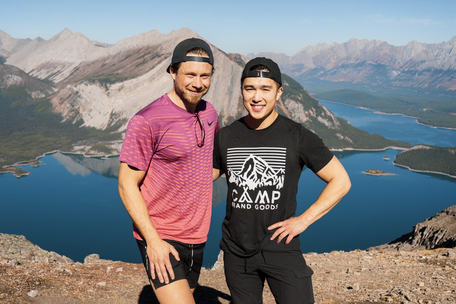
And there we have it! Owen and I conquering yet another great hike. We hope to see you guys soon on the next hiking guide.