
Ptarmigan Cirque

Jamie and I both had a busy day before the hike, we knew the Highwood Pass area would be ridiculously popular due to Larch Season and decided to arrive a bit later when most people are finishing their early morning hikes. Without surprise, there were cars parked on both sides of the highway going as far as 1km away from the parking lot IN BOTH DIRECTIONS. We were lucky enough to see some spaces being opened and found a spot in the parking lot without having to take our chances parking on the highway.
I would even consider this “hike” as a nice scenic recovery walk. After a busy week and a sore body, Ptarmigan Cirque served its purpose and was insanely beautiful.
Trip Date: Sept 19th, 2020
Time: 2 hours
Distance: 3.5km
Elevation Gain: 194m
Hiking Difficulty (Shenandoah's formula): Easy (52)
Technical Rating (Yosemite Decimal System): <Class 1
Best time to go: Mid September - Early October for the fall colors.
Toilets: Outhouses located at the Highwood Pass parking lot
Trail Popularity: Very High
Food and H20: 1-2L
Footwear: You can get away with trail runners and possibly running shoes on dry/ favorable conditions. Hiking shoes and boots are always recommended.
Equipment: N/A. Hiking poles are a luxury for this hike.
Trailhead: Start Here
Parking: Park Here

Heading to the Highwood Pass day-use area… lots of vehicles!

The trailhead is at the crosswalk directly NW of the parking lot, be careful when you cross because the overflow of vehicles may block the vision from oncoming traffic. The exact location will be on the google maps link located in that stats above.

You’ll be starting your hike on a well-defined trail surrounded by thick trees, most of the elevation gain will be at the beginning. The photo above will be the first break out of the treeline.
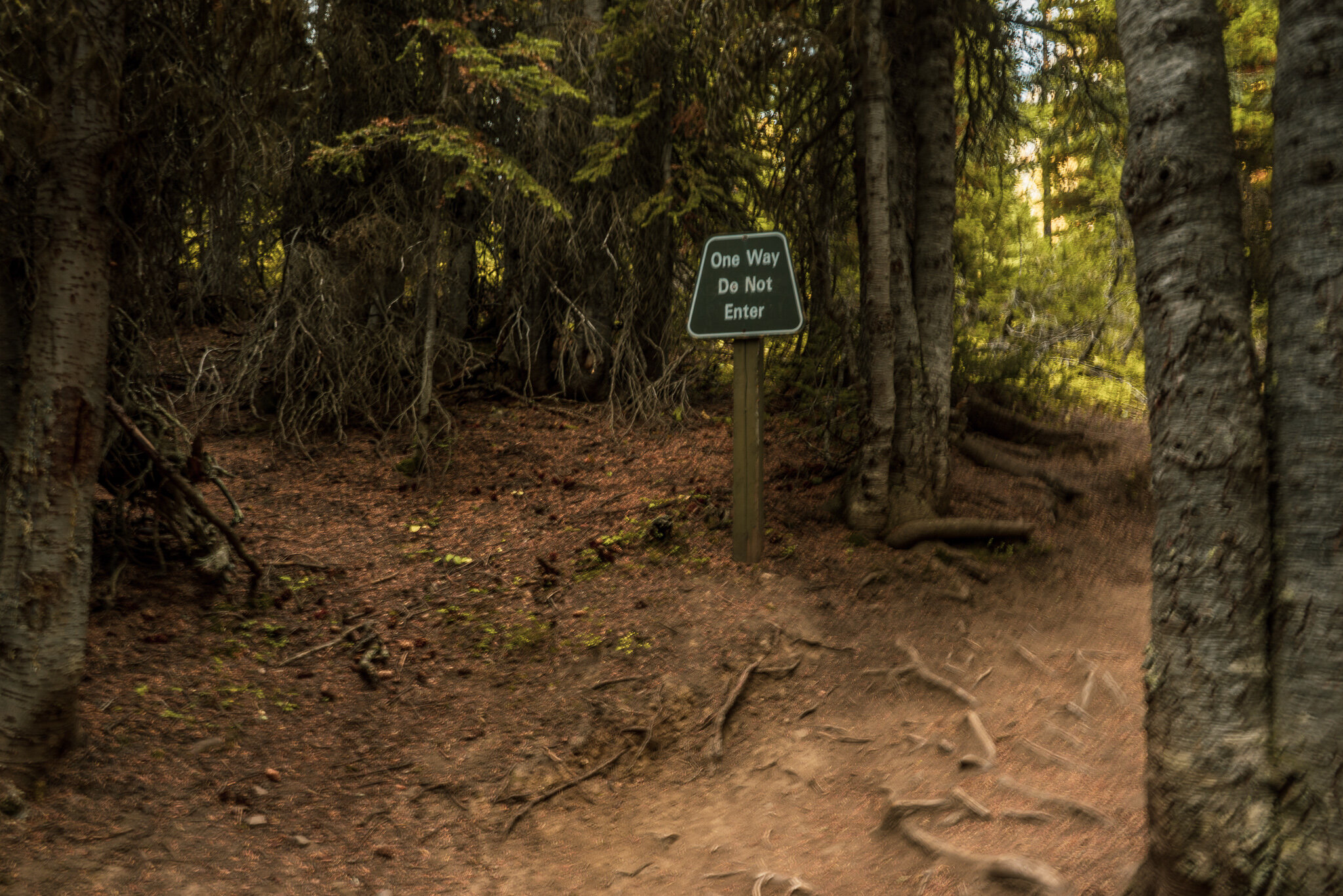
The next checkpoint is at this sign. This is where you will begin a clockwise rotation of the hike, make sure to head left at this fork. You will be returning back to this sign once you have completed the cirque.
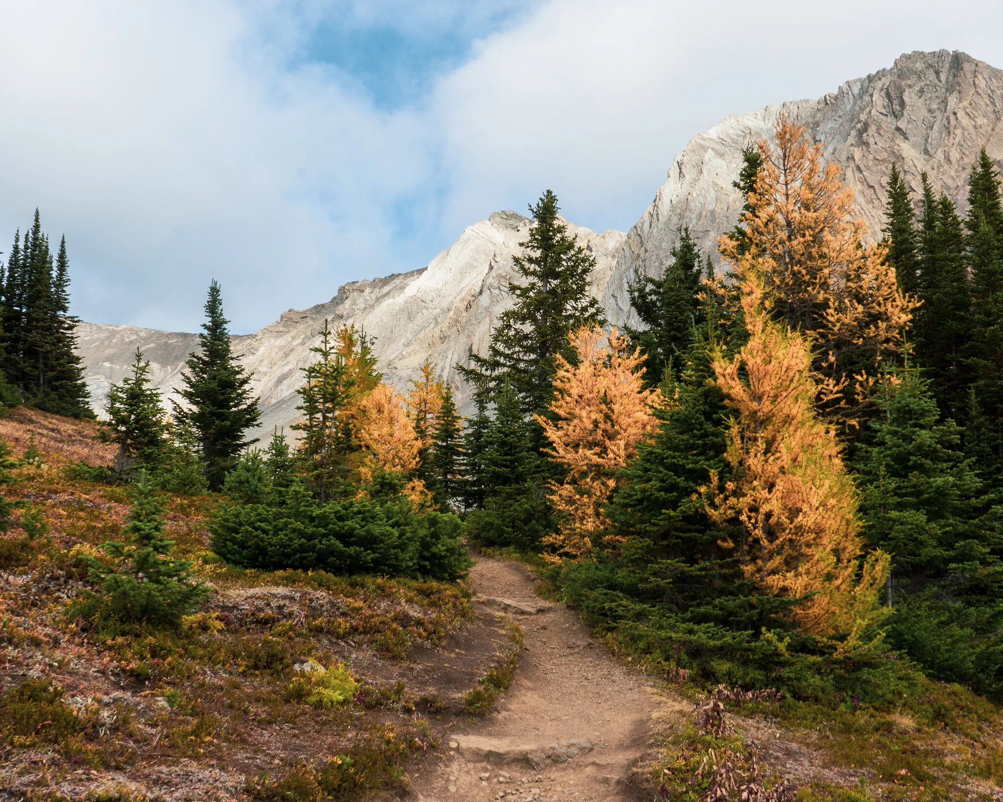
Views of Mt. Arethusa and Little Arethusa appear.

The Ptarmigan valley is just ahead, Mount Rae is just to the left.

A great viewpoint looking southeast. The mountain range on the right is actually the border that splits Alberta (left), British Colombia (right).
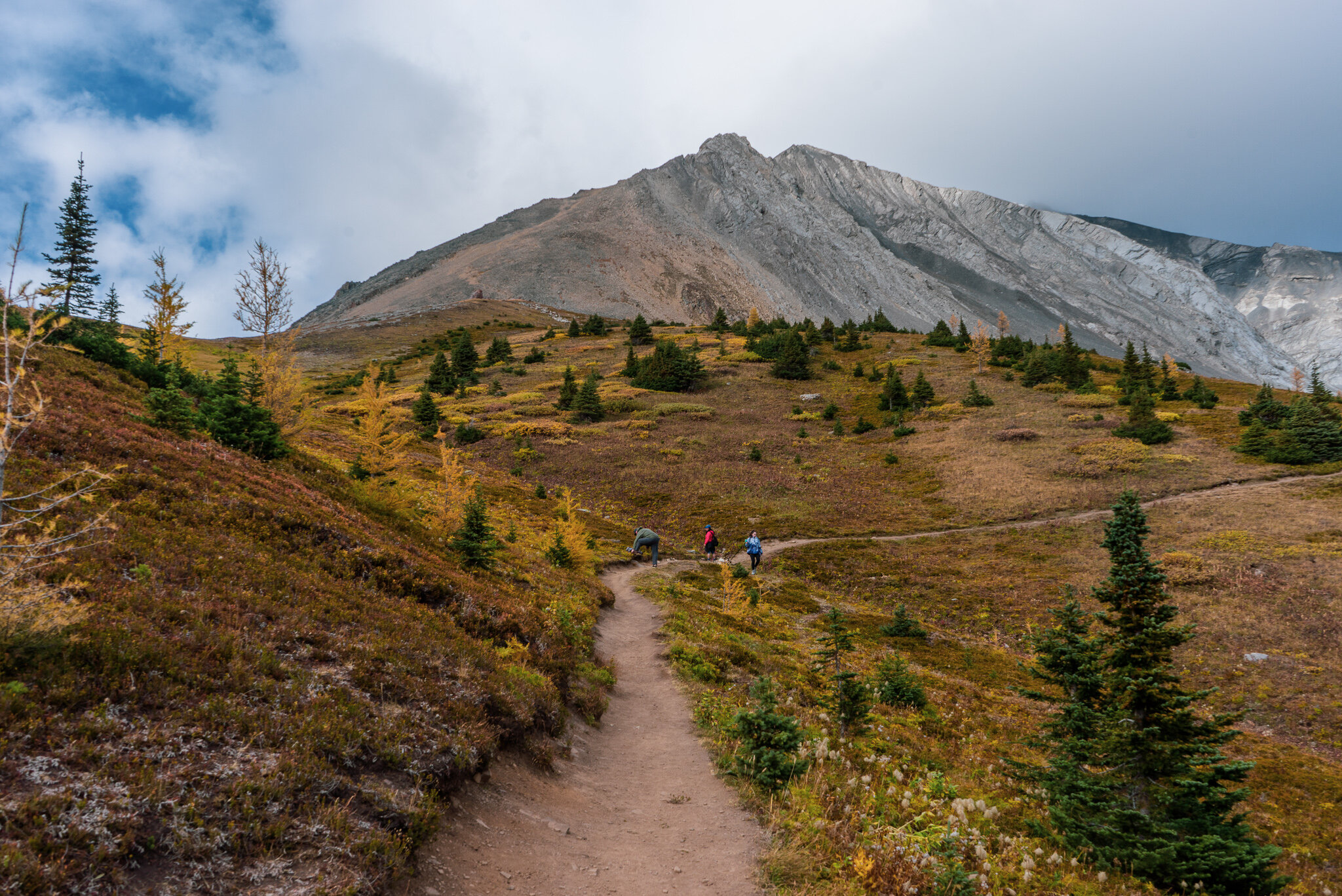
Trail continues…
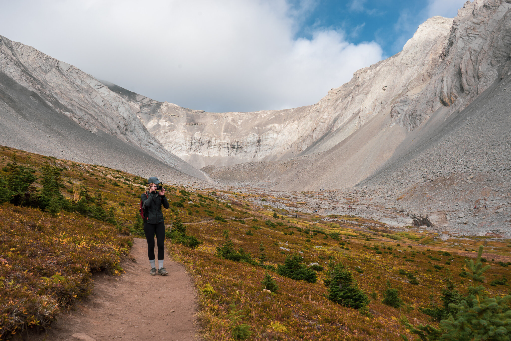
Right below Mount Arethusa will be the next checkpoint, there you will find lots of large rock, a small waterfall, and some fossils. You can see a group of people to the right of Jamie in the distance if you zoom in.

We’re here, this is where we begin to end the cirque as we head back to the trailhead. Now all you have to do is hangout, have a snack and relax!

Looks like corral and seashells? Keep your eyes peeled because this area is full of fossils.

A closer look. Apparently, the fossils in this area are 350 million years old!!

SW views with Pocaterra ridge and Mount Pocaterra in the distance.

This is the route back as you continue to move clockwise along the cirque.

This is the final checkpoint before you complete a full lap around the Ptarmigan Valley, Once you return back into the treeline you will be in awe of the beautiful larches.