
Sentinel Pass and Larch Valley

Trip Date: September 27, 2021
Time: 4-6h
Distance: 13.6km
Elevation Gain: 925m
Hiking Difficulty (Shenandoah's formula): Moderately strenuous - Very Strenuous (287)
Technical Rating (Yosemite Decimal System): S-1.1 Hikes predominately on a mix of maintained and use trails, requiring virtually no route-finding skill and covering terrain that consists of stable, easy footing, vegetation, or water obstacles, and low to moderate grades. There is little risk aside from weather and altitude.
Best time to go: Mid - end of September. “The 13 km road to Moraine Lake opens the Tuesday after Victoria Day in mid-May and closes the Tuesday after Canadian Thanksgiving in mid-October.”
Toilets: Yes. Located at Moraine lake parking lot
Trail Popularity: Very High - Extreme
Food and H20: I packed 2L of water and a small lunch + 2 snacks
Footwear: Hiking Shoes, Running shoes may vary depending on the weather.
Equipment: N.A
Trailhead: Google maps link
Book your Parks Canada Shuttle and avoid full parking lots: Shuttle reservations
GPX download link: External download link


Getting there:
Parking at Moraine Lake (trail access) is usually full by sunrise. I’ve personally witnessed people already camping in their vehicles the night before to reserve a spot for themselves… yikes!
However, I don’t blame them.
Do I recommend doing this hike?
100000000% Yes. You should do this hike or visit here at least once in your lifetime.
It’s one of the most iconic, beautiful, and world-renowned gems of Canada. Moraine Lake and Lake Louise are a staple to visit especially for those who are traveling abroad.
Is parking there recommended moving forward? No, unfortunately.
The best option is to book a shuttle HERE
Fares (includes return trip)
Adult (18 – 64 years): $8
Senior (65+ years): $4
Youth (6 – 17 years): $2
Child (under 6 years): Free
Please read the Parks Canada Website for more: Park and Ride to Moraine Lake

Andy and I were fortunate to find a parking spot we arrived before 4 am and started our hike in the middle of the night in pitch black.
With our headlamps on, double jackets, and a diminishing determination to continue, We somehow managed to fight our sleep-deprived bodies to complete the hike.
The trail starts at the south end of the parking lot. Continue south along the lake on the right side. Next checkpoint after 100m you will find trail-marked signs.

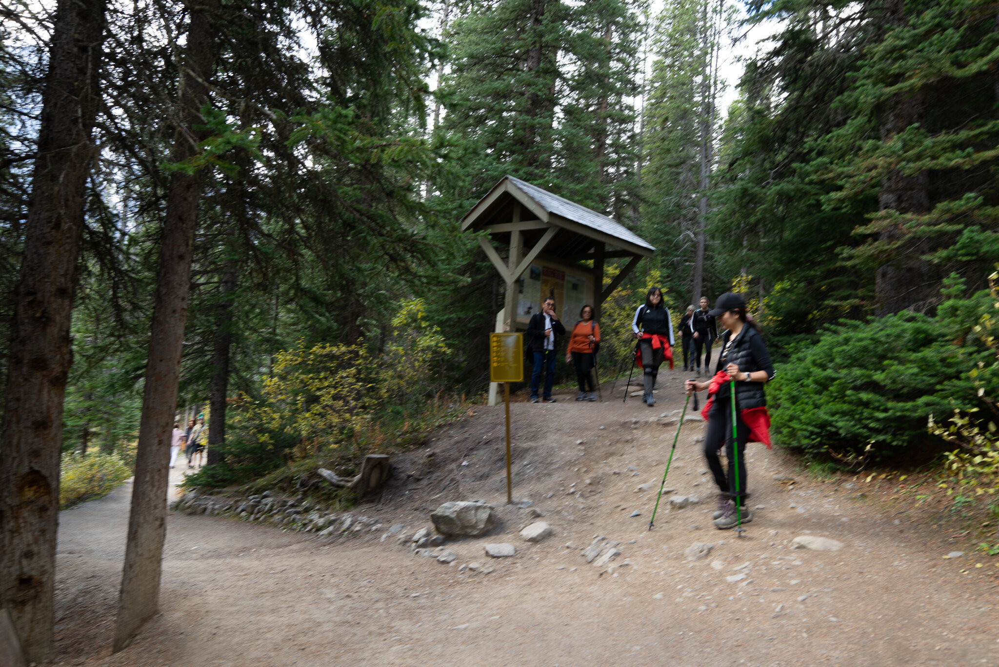
First important intersection, you will begin a steep incline of switchbacks until the next signage at Larch Valley.
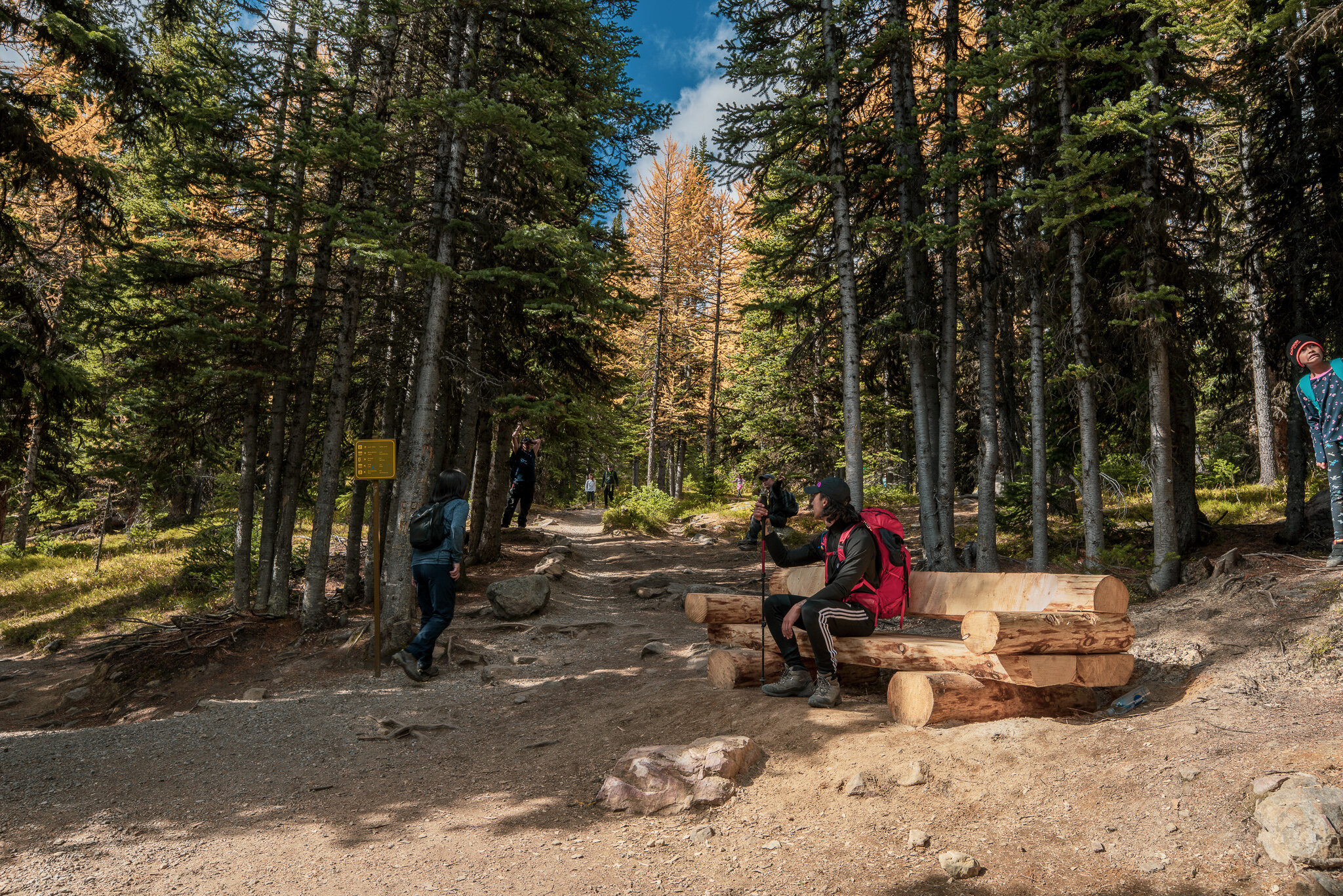

Once you reach the wooden bench turn right as you will enter Larch Valley and celebrate that the switch backs are over! I really hate switchbacks….

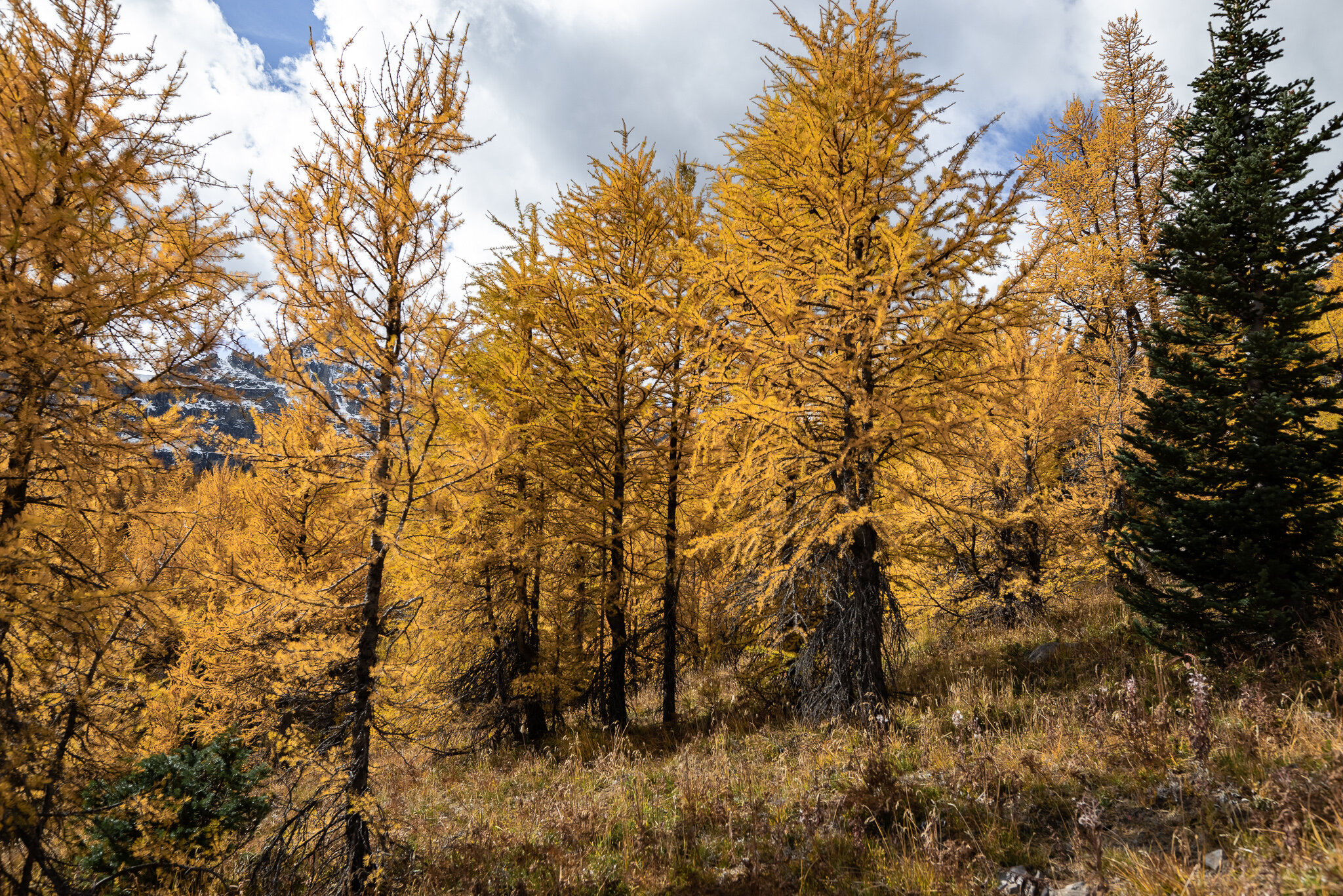
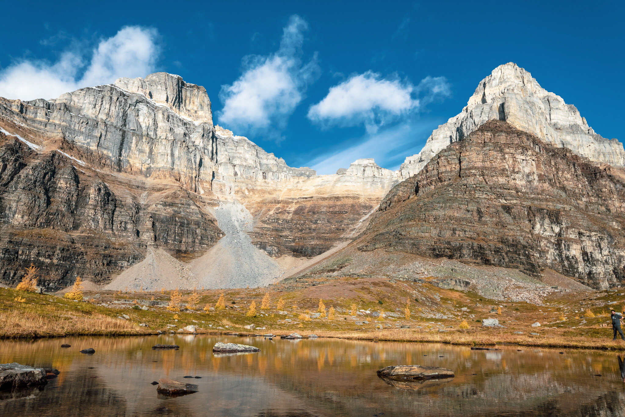
This is just a few steps from the second fork, you’ll be approaching an opening that will have a visible view of the 10 peaks surrounding Lake Moraine.

We found an open area here for some photos, Don’t worry Larch valley extends further up ahead.


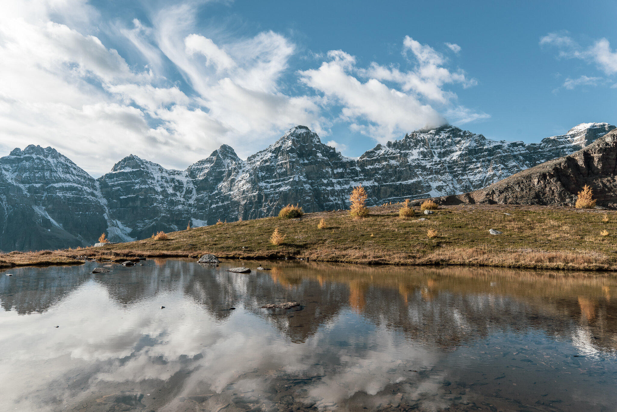
Pinnacle Mountain is the first to say hello after an amazing walk through Larch Valley. Sentinel pass is located under Pinnacle mountain on the right side.

Eiffel peak is seen to the left and Pinnacle on the right.

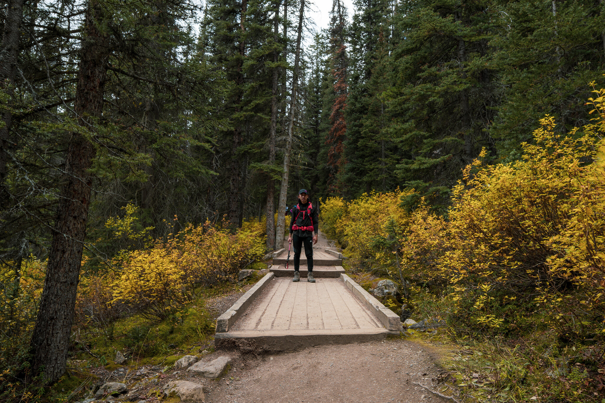
A reminder to look back once and while. You’ll be coming back this way.

At this point during the hike, Andy and I veered off to the left of the trail to find Minnestimma Lake. Not necessary, but if you wish to continue keep following the crowd (right of Andy) to make your way towards Sentinel Pass.

Me in 2014

6 years later! a little older and maybe a little wiser?
Minnestimma Lake is located maybe 100-150m off trail. Amazing spot for awesome shots, here’s what i got:


From Minnestimma Lake looking north, you can make out a faint switchback trail the leads you to Sentinel Pass!

A slightly closer look at Sentinel Pass. The trail continues and becomes increasingly narrow, the crowds make it a bit difficult to navigate as each person has to maneuver off to the side onto the loose rock for others to pass.

Expect lots of hikers enjoying the scenery! You’ve officially made it to the top of Sentinel Pass, enjoy the following photos as you complete a 360 view for you:


My cousin Andy and I thank you for joining us on the blog today! We hope you guys enjoy this amazing hike and wish to see you back on here soon!
Be sure to follow and keep up with me on Instagram: Mr.mountainman