
Picklejar Lakes
Picklejar lakes! Tons of beautiful scenery, great photo spots, easy to get to, moderately difficult, and overall just a super chill spot to spend the weekend. Unfortunately, there were no pickles or jars to be found.

Time: 3-5h.
Trail Type: Out and back.
Distance: 10.5km (6.5mi).
Elevation Gain: 500m (1640ft).
Hiking Difficulty (Shenandoah's formula): Moderately Strenuous (146). Will generally be challenging for an unconditioned person. The terrain will involve a steady and often steep incline.
Technical Rating (Yosemite Decimal System): Class 1, Maybe Class 2 at most. The trail is distinct but can be very uneven due to large rocks and you may need to put your hand down once in a while for balance.
Best time to go: Highway 40 from Peter Lougheed Provincial Park to Highwood House Junction is only open from June 15th - Nov 30th, I recommend going from July - Sept.
Park pass: Kananaskis Conservation Pass is required, buy a day pass or annual pass here.
Toilets: Outhouses located in the day-use area/parking lot.
Trail Popularity: Moderate.
Food and H20: I packed 3L (drank 2 L), 1 lunch, and 1 snack was enough for me.
Footwear: Hiking shoes and boots are recommended.
Equipment: N/A
Trailhead: Located across highway40, 50m north or parking lot and off the side of northbound traffic located here - google maps link.
Parking: Picklejar lakes day-use area - google maps link here.
Weather: The Weather Network or Mountain Forecast.com (closest available peak)
GPS: GPX file

This is Picklejar lakes day-use area - google maps link here. From here you’ll be crossing highway 40 to get to the trail head.

Trailhead is located across highway40, about 50m north of the parking lot and off to the side of northbound traffic found here - google maps link. In the photo above the trail starts just in front of this creek, you can see the pass veer right into the tree in the center of the screen.
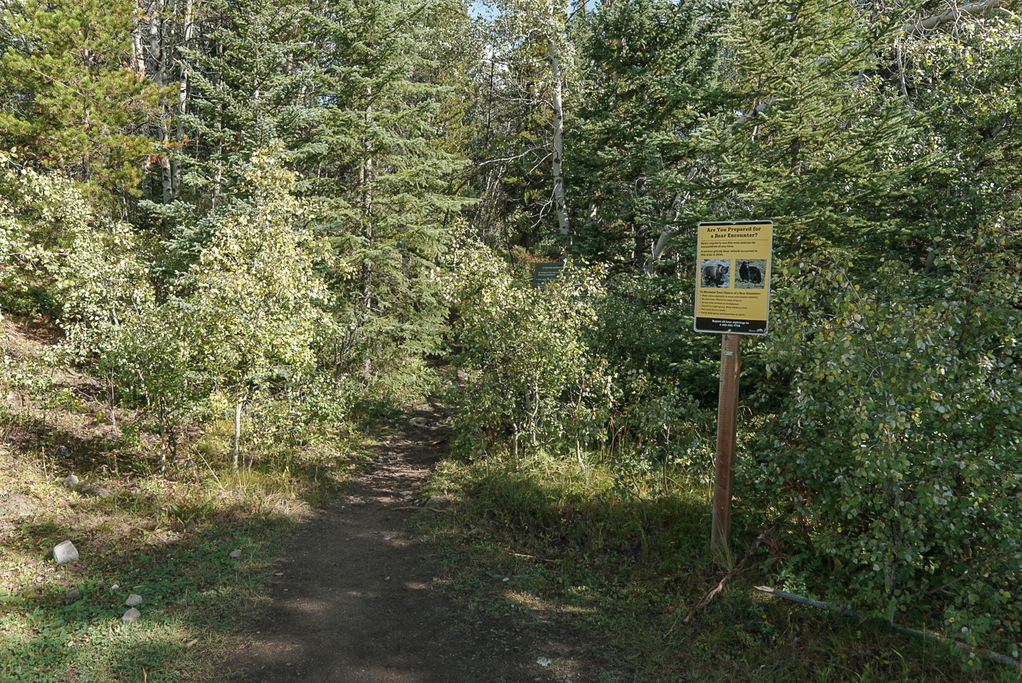
At the beginning of the trailhead, you will find a bear warning sign, follow this trail and head NE to Picklejar lakes.

Lineham ridge opens up in the back behind Hafeez.

Looking back SW towards the parking lot.

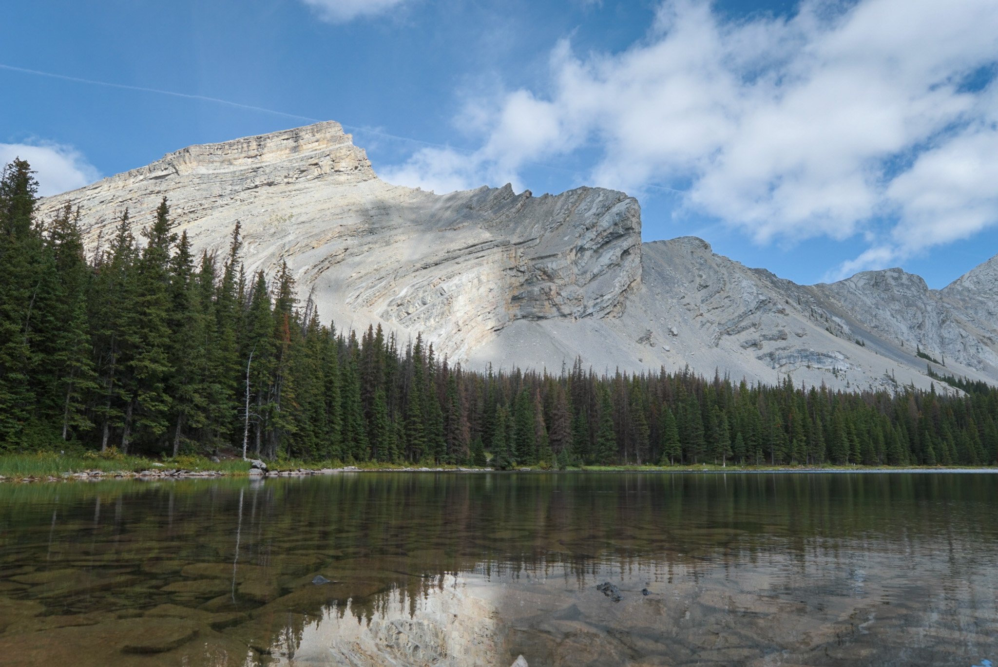
After 3.5km, you will ascend up to the base of Lineham ridge, this is a photo of me looking NW towards Mist Mountain. From here you will descend NE on the Northside of Lineham ridge and access Picklejar lakes for another 1.3-1.5km.

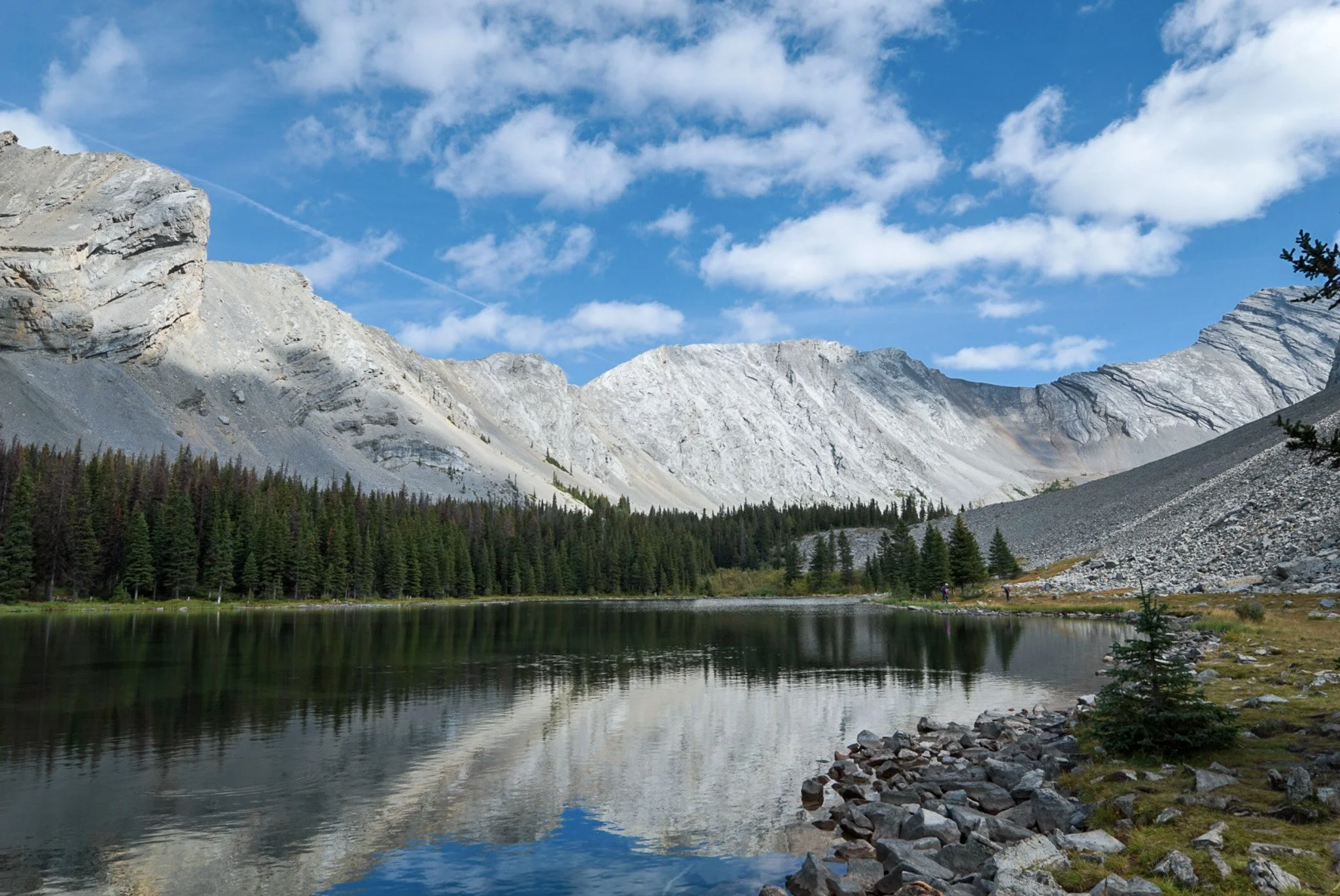
Some loose rock as we descend, you can faintly see the first lake in the center of the screen.
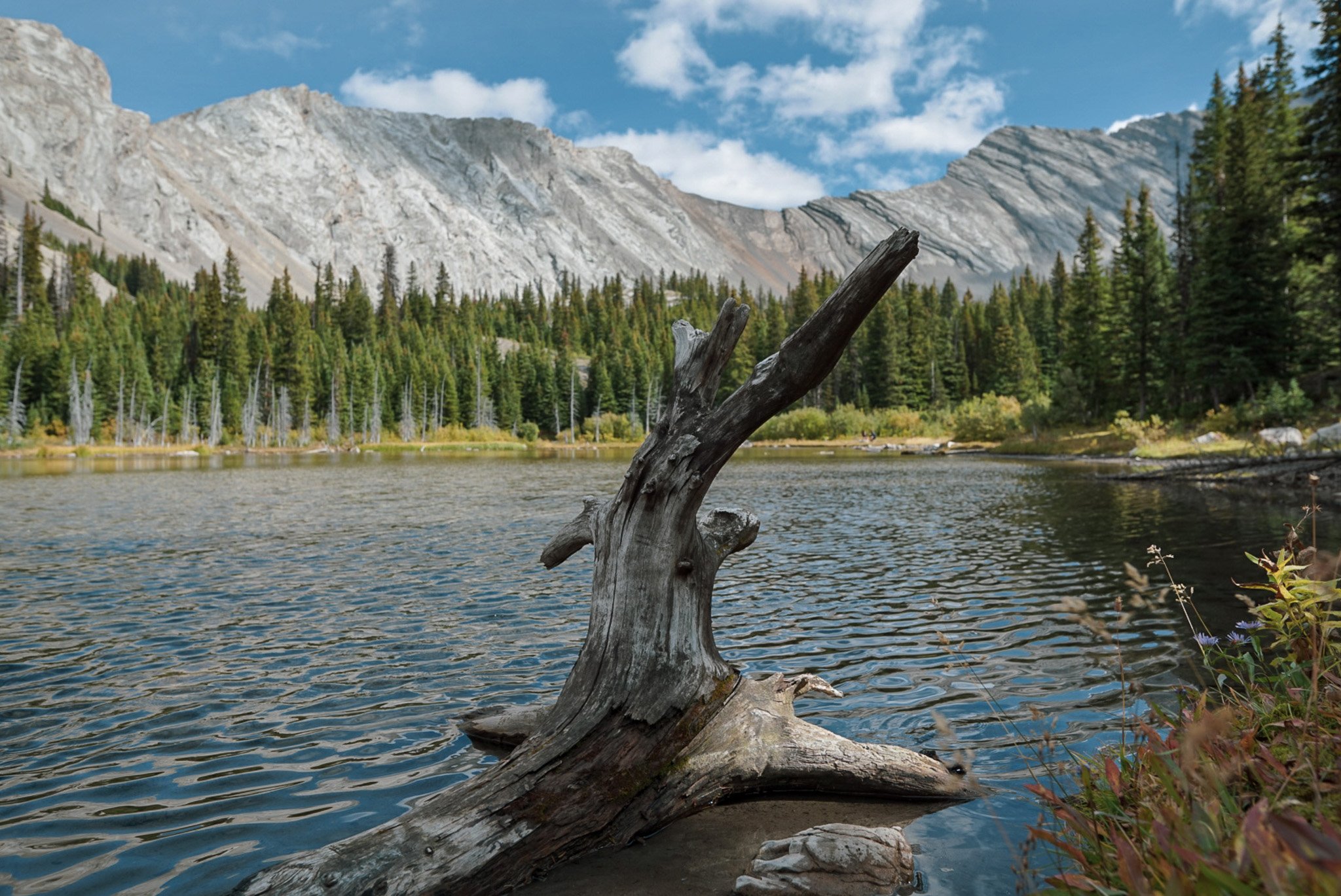
Here’s the first lake!
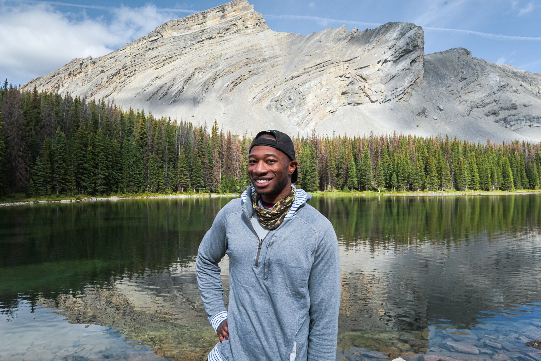
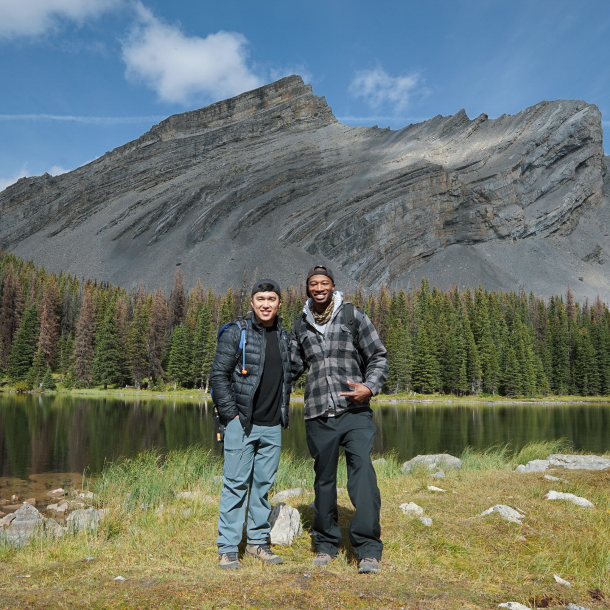
All smiles from Hafeez! We had lunch here and continued on to the next lake ahead for a short visit.

Second lake.
Thanks for joining this hike with Hafeez and I. We look forward to seeing you soon!